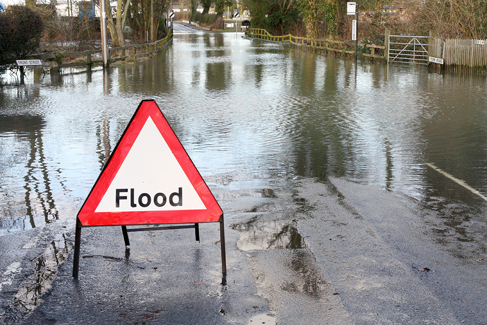
National flood map provides future climate change flood scenarios

Data specialist Landmark Information, in partnership with flood modelling experts and gas network Wales & West Utilities, has launched Great Britain’s first national flood map, which incorporates current and future predictive flood scenarios for the 2020s, 2050s and 2080s.
Delivered via a new Climate Change Adaptation Reporting service, it provides asset managers, infrastructure owners, land owners, their advisors and reporting organisations with the ability to understand future flood risks on existing assets and infrastructure, and create a plan to adapt in a phased, responsible and appropriate manner, removing the need to create manual estimations.
The Wales & West Utilities initiative developed into a collaborative innovation project with Landmark and Ambiental. Wales & West Utilities are the first utility company in the UK to use the data as part of its UK Climate Change Adaptation Risk Assessment, Reporting and Investment requirements, as per the Government’s Climate Change Adaptation Reporting guidelines. The dataset incorporates the latest river flow, rainfall, sea level rise and climate change predictions available, and allows the creation of unique, innovative new layers, providing insight into flood hazards and the resulting impacts on property, river banks, transport networks and bridges.
Using the service, Wales & West Utilities can assess how flood risk and river erosion is predicted to vary locally and regionally at different time periods and under different emissions scenarios – and the impact that could have on the gas network where pipes may be exposed by river bed and bank erosion. This will allow the company which serves 7.5 million people across Wales and the south west of England, to invest to protect the network earlier and at a lower cost.


